Technological development to harmonize the development of deep-sea mineral resources and environmental conservation

Attention has been focused on the development of deep-sea mineral resources, and exploration activities are being conducted throughout the world. At the same time, interest in environmental impact has also increased, and stricter environmental impact assessment (EIA) and evaluation techniques supporting these activities are required. The current environmental impact assessment technology depends on technology that has been established in the category of oceanography thus far. However, considering that resource development is an economic activity, the EIA technology requires not only more accurate survey data but also understanding of the correlation between development and its effect on the environment and economy of the research.
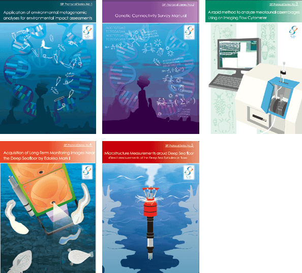
Given this, we are developing technologies suitable for EIA of resource development. For example, there is a concern about the influence of suspended particles so-called “plumes” in seabed mineral resource development, but there is no way to accurately determine its behavior so far. Therefore, we try to understand the behavior of the plume through turbulent flow observation near the seabed and use it to estimate the influence area of development, and then the measurement technique of the deep-sea turbulent flow was established recently. Thus, a technical protocol of the deep-sea turbulent flow observation is registered in the repository of IOC-UNESCO’s database for international standardization.
We also developed an automatic recognition system of larger benthic organisms for evaluation of effect on meiobenthos. By making full use of these newly developed technologies, we are further developing efficient method to visualize environmental impact using ecosystem services.


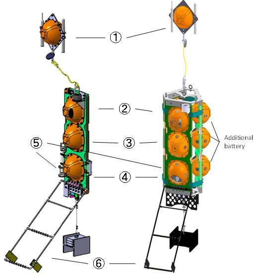
The VMP-X is dropped off the ship and measures the current shear, water temperature, and pressure from the ocean surface layer to the bottom. After reaching the bottom, the VMP-X detaches the sensors with a spindle (MicroXM) and rises to the water surface.
