♦MISMO Daily Report
|
|
|
Thursday, Nov. 9, 2006
R/V MIRAI
"number of radar ehoes increased"
Fine, partly shower, then cloudy
Weak wind, and significant wave height was 1m.
Observations:
All measurement systems were fully operated.
Snow White sonde was launced at 1400 LST.
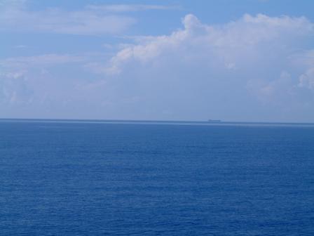
Shallow convections and congestus clouds were often observed from the
morning (photo-1). At 1100 LST, it was scheduled to launch the Snow
white sonde, but it was cancelled due to heavy precipitation.
In the afternoon, many deep convections were observed (photo-2).
We could see many small echoes on the Doppler radar monitor.
Precipitable water vapor increased to 60 mm.
According to the satellite cloud iamges, large cloud area ( O(1000km) )
can be found in the 70E-75E aound the equator.
Remarks:
We are now paying attention to the cloud activity around the Maldives
whether they shift eastward or not.
Today, we reached 100 times for CTD casting from the start of the
stationary observation at (0, 80.5E).
Today, we had 5th MIRAI seminar (photo-3). Today's speaker who has
joined this cruise from France (but he is Japanese) talked on the
Ship-borne Lower Tropospheric Radar, that is usually known as Wind
profiler. He first showed some basic information on the radar, and
then also introduced his favorite Mediterranean life with many pictures.
Their processed preliminary results are now uploaded (photo-4) every
one hour on the MIRAI internal web.


