♦MISMO Daily Report
|
|
|
Friday, Nov. 17, 2006
R/V MIRAI
"super cloud cluster"
Cloudy, sometimes rain.
Relatively strong (5-8 m/s) southerly and south-easterly prevailed.
Significant wave height was 1.8 m, then exceeded 2m in the evening.
Observations:
Radiosonde observation, CTD casting, and other routine observations
were carried out.
It was covered with clouds all day long (photo-1). Organized
convective systems moved westward.
SST showed constant value of 28.9 degC whole day.
Time-height cross section of zonal wind component (see data page,
figure therein) shows the drastic change in the upper troposphere
(higher than 150 hPa level) from westerly to easterly. Actually,
easterly wind prevails entire the troposphere now.
Remarks:
Satellite data shows the existence of large-scale cloud area over the
central Indian Ocean. MIRAI is located in the eastern part of that.
At present we are not sure whether this cloud area is related to the
MJO or not. But, certainky the situation is changing.
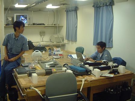
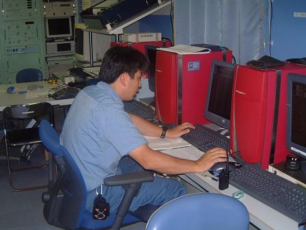
Photos 2-5 show the usual scenes as part of routine work.
(photo-2: CTD, 3: sonde, 4: dry lab, 5: mapping)


